
Stockpile volumes
How much material you have, pile by pile.
Drone Solutions measures the volume of stockpiles, yards and material banks with drones. From the flight photos we build a 3D model of the site and calculate the volume and tonnage of each pile or sector, compared with the previous survey. The inventory comes in a PDF report ready to sign and is available in GeoVolumetrics.
Drag to compare
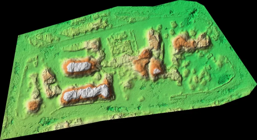
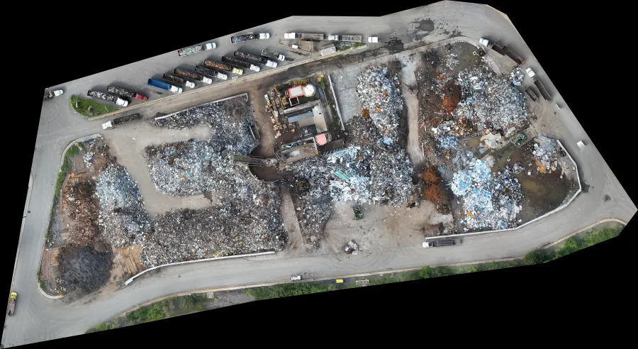
What you get
Volume and tonnage by sector, month over month.
- Volume in m³ and tons per pile or sector
- Fixed floor or natural ground as the calculation base
- Comparison with the previous survey
- Densities and reconciliation with scale tickets
- Official inventory report in PDF
- 3D model and aerial map of the yard
How it works
- 1
Flight
We fly the yard or pit with a drone and, when needed, with ground control points or RTK.
- 2
Processing
We build the map and 3D model and draw your site's sectors and base surfaces.
- 3
Calculation
We calculate volume and tonnage by sector and compare it with the previous survey.
- 4
Report
We deliver the inventory in PDF and everything stays in your GeoVolumetrics account.
What it looks like
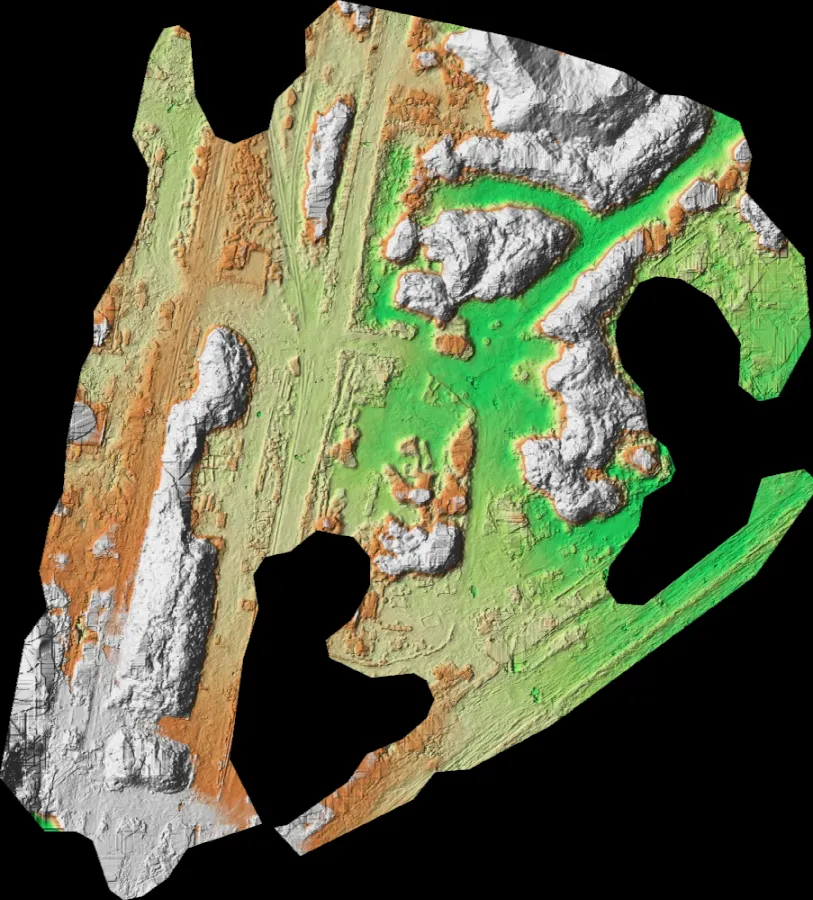
Covered storage
Sectors under a roof: the structure is removed and what lies beneath is measured.
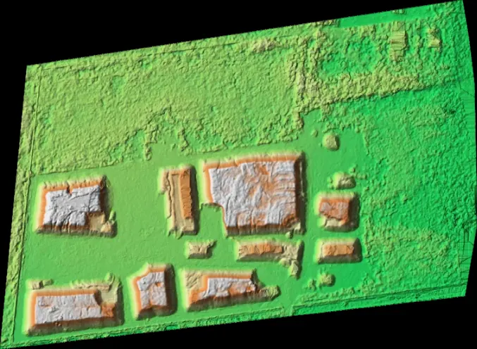
Raw material yard
Every pile and every material, measured in one flight.
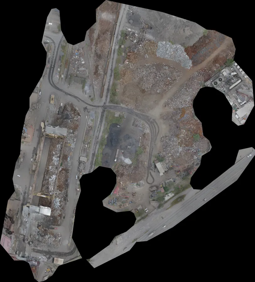
Site map
Orthophoto at a few centimeters per pixel.
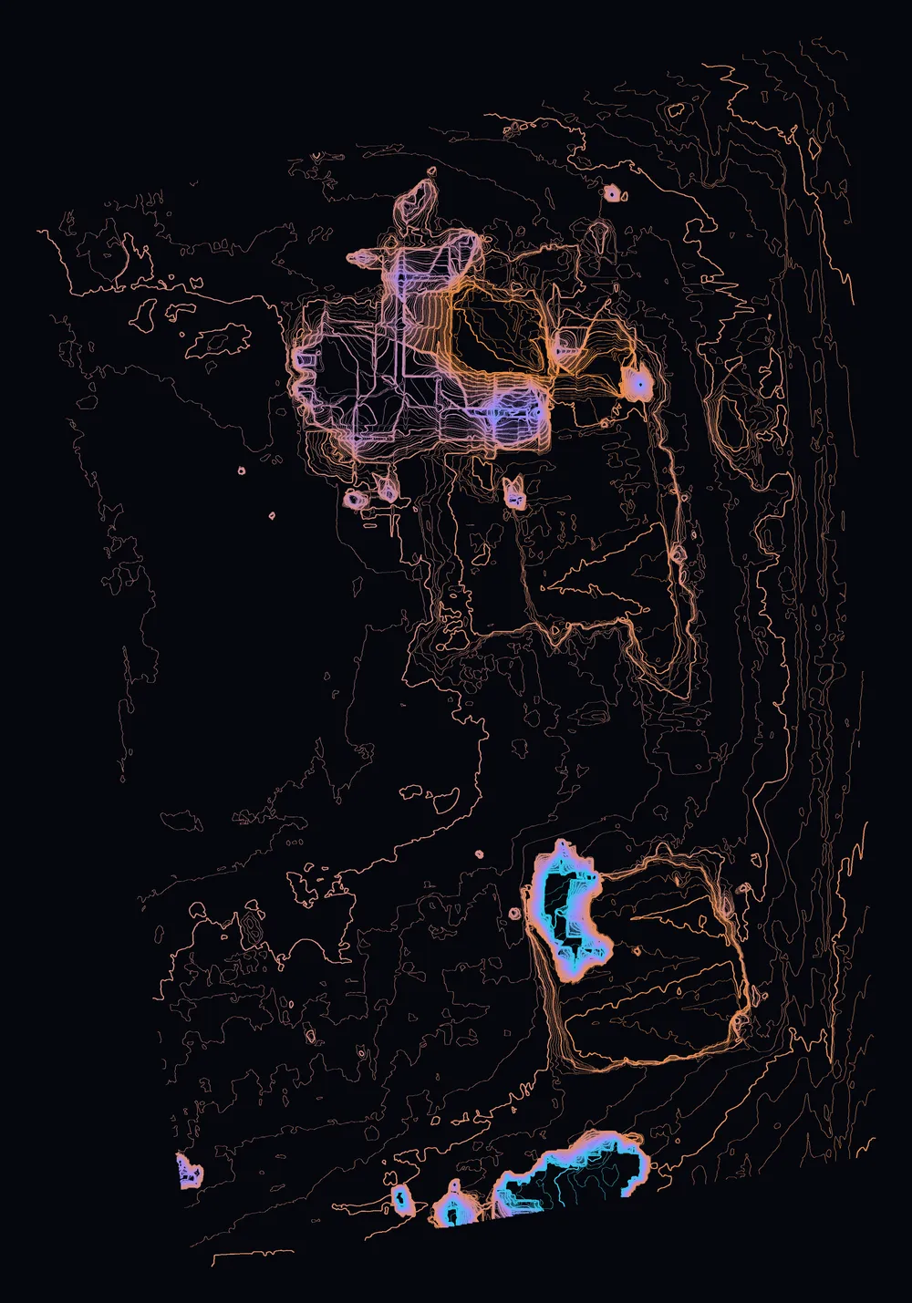
Contour lines
The site's relief to plan the next cut.
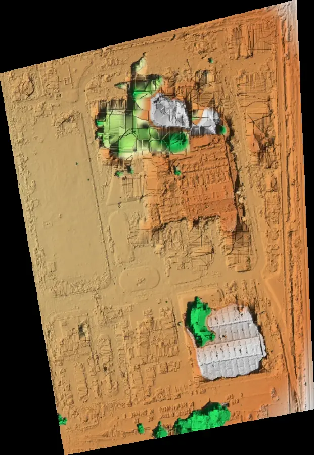
Shaded relief
Berms, slopes and ditches at a glance.
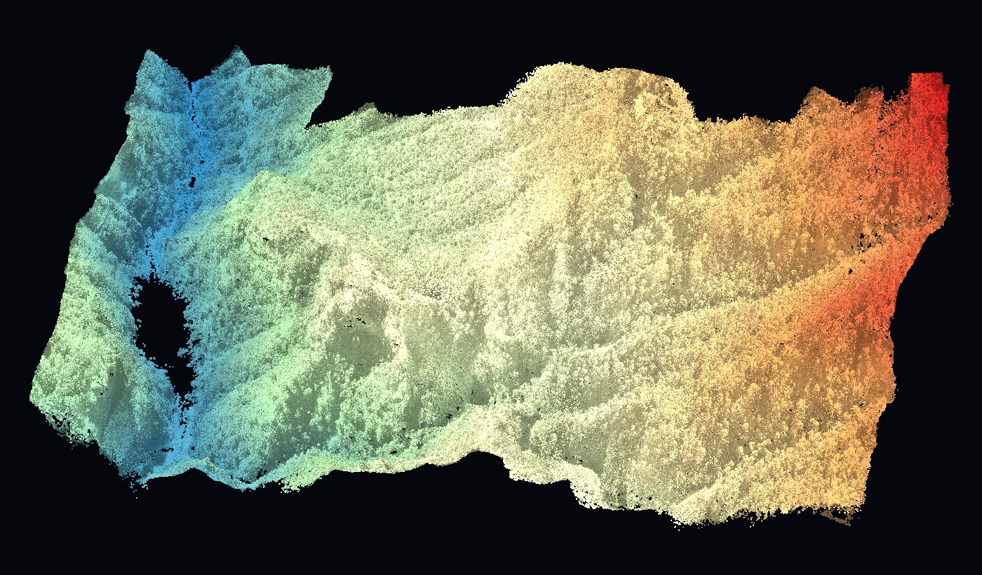
Point cloud
Millions of measured points, ready for your engineer.
Platform
See the results in GeoVolumetrics
Volumes, surveying, LiDAR, agriculture, thermography and roofs in one platform. Upload the photos and get measured results and reports ready to sign.
geovolumetrics.comQuestions about stockpile volumes.
Have another question? Email us at info@dronesolutions.com.mx.
How accurate is drone stockpile measurement?
+
We work at a few centimeters per pixel. With ground control points or RTK, accuracy improves, and we state it in every report.
How often should we measure?
+
Usually once a month for inventory close. Each survey is compared with the previous one.
What materials can you measure?
+
Aggregates, soil, steel and scrap, coal, grain, compost and any material in piles or yards.
Can I fly with my own drone?
+
Yes. You upload the photos to GeoVolumetrics and we process them. If you don't have a drone or pilot, we fly for you.
Other services
Need stockpile volumes?
We'll reply with a proposal and the delivery time for your site.