
Surveying and mapping
The whole site, without tape or total station.
Drone Solutions performs drone topographic surveys and mapping in Mexico. We deliver high-resolution orthomosaics, digital surface (DSM) and terrain (DTM) models, contour lines, point clouds and 3D models, with DXF, GeoTIFF and KMZ downloads for your engineer, plus cut and fill, drainage and month-by-month construction progress.
Drag to compare
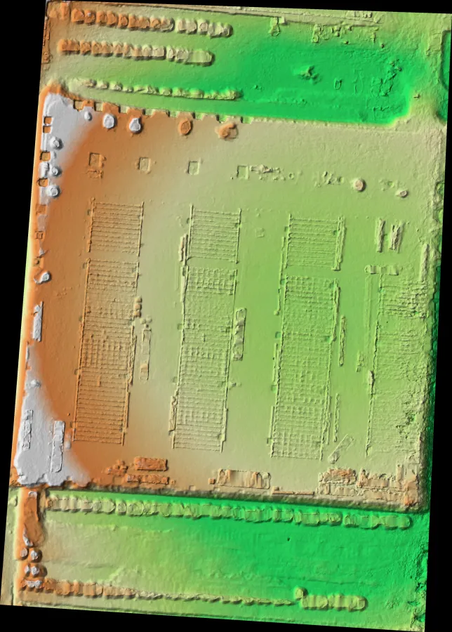
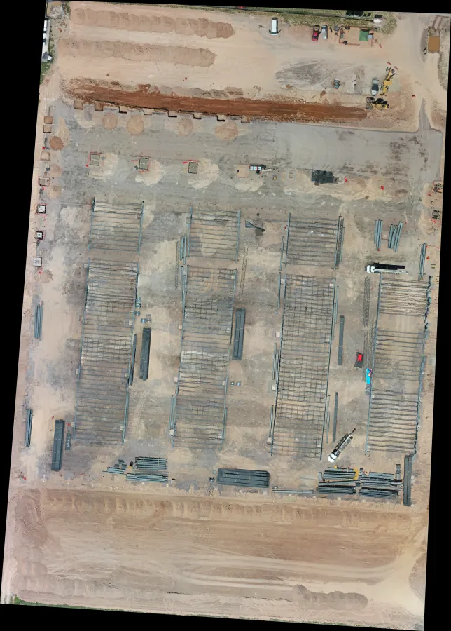
What you get
Orthomosaic, contours, relief and 3D model of your site.
- High-resolution 2D orthomosaic
- Digital surface model (DSM) and terrain model (DTM)
- Contour lines from 25 cm to 2 m
- Point cloud and photorealistic 3D model
- Cut and fill, slopes and drainage
- Downloads in DXF, GeoTIFF and KMZ
How it works
- 1
Flight plan
We set altitude, overlap and control points based on the accuracy your project needs.
- 2
Flight
We fly RTK drones with the right camera or sensor: RGB, LiDAR, thermal or multispectral.
- 3
Processing
We generate the orthomosaic, elevation models, contours and 3D model.
- 4
Delivery
You view everything in GeoVolumetrics and download the files for CAD and GIS.
What it looks like
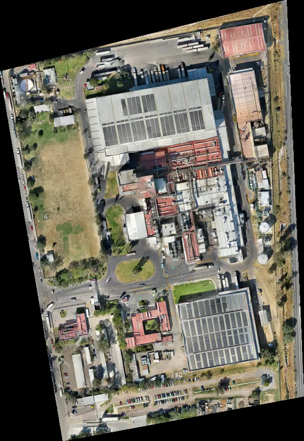
Orthophoto
Thousands of photos stitched into one measurable map.
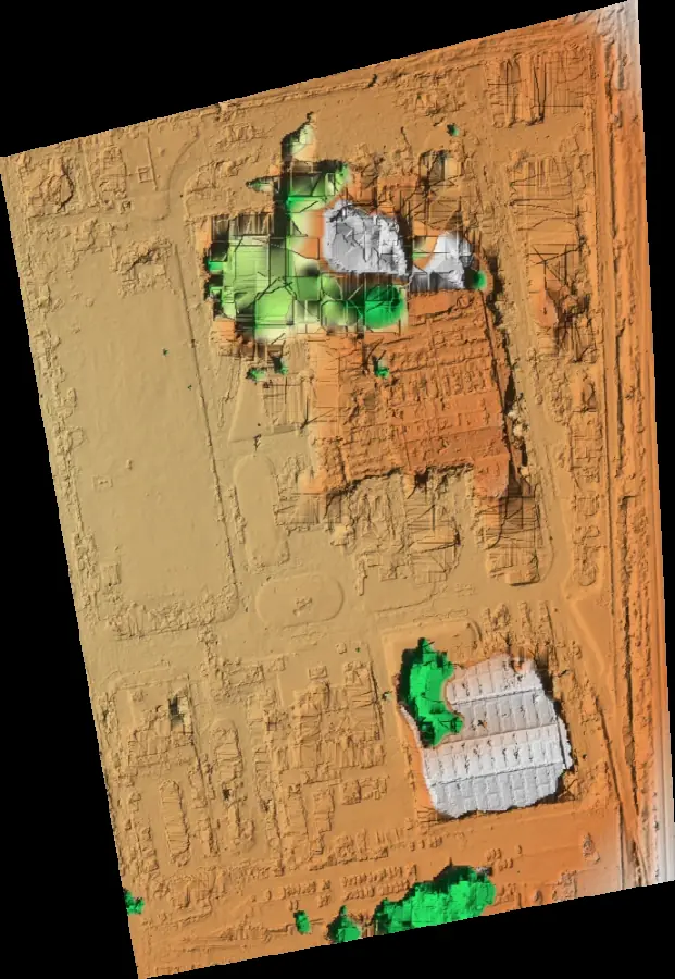
Shaded relief
Hills, berms and ditches readable at a glance.
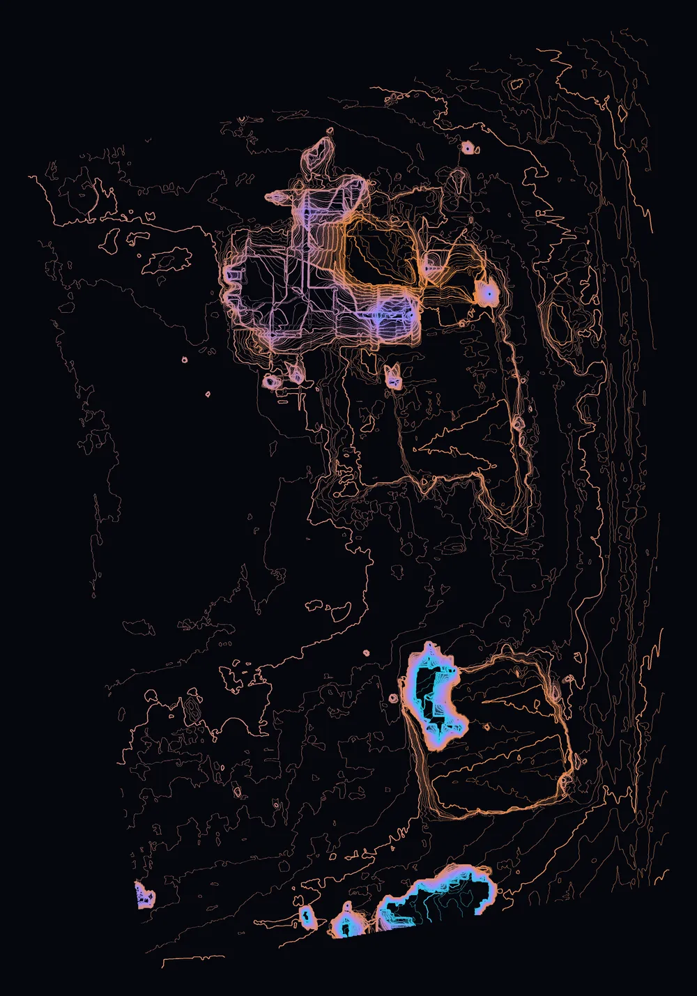
Contour lines
Every meter, ready for your DXF drawing.
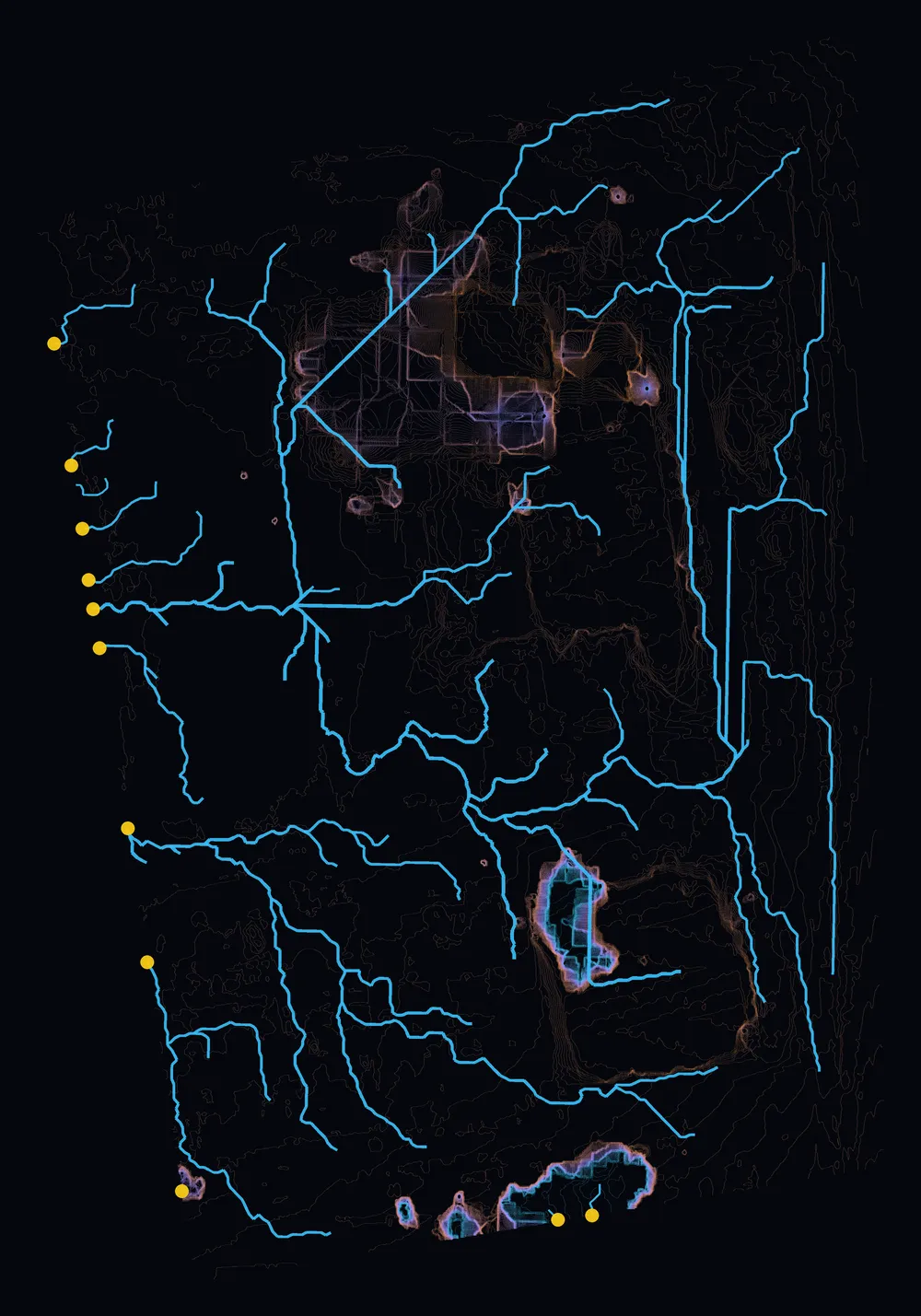
Drainage
Where water runs and where it pools.
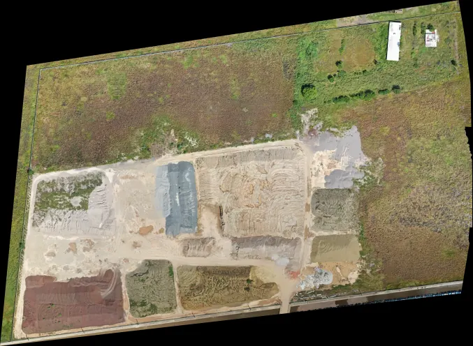
Industrial park
Buildings, yards and roads in one measurable image.
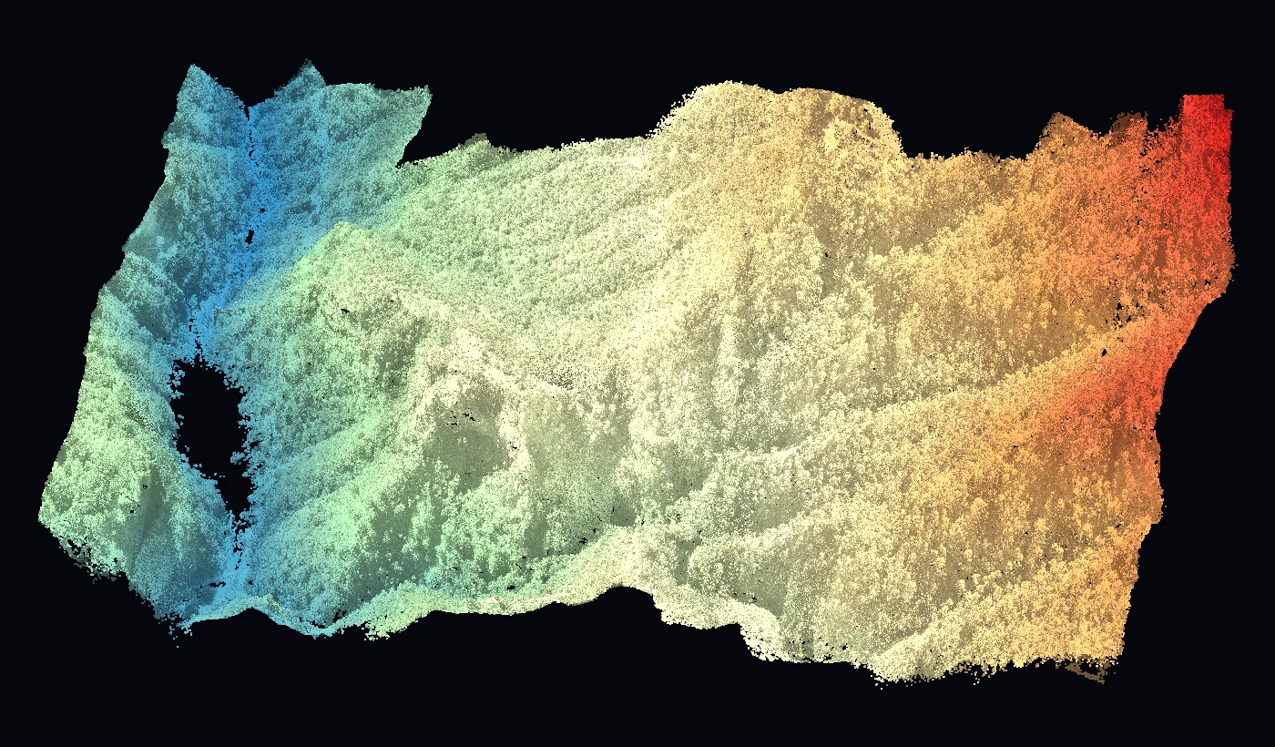
Point cloud
Millions of georeferenced points.
Platform
See the results in GeoVolumetrics
Volumes, surveying, LiDAR, agriculture, thermography and roofs in one platform. Upload the photos and get measured results and reports ready to sign.
geovolumetrics.comQuestions about surveying and mapping.
Have another question? Email us at info@dronesolutions.com.mx.
Can a drone survey replace a traditional survey?
+
For open areas, yes: it covers in hours what takes days with a total station, with far more points. For detail under roofs or dense vegetation we combine it with LiDAR or ground survey.
What formats do you deliver?
+
DXF for CAD, GeoTIFF for GIS, KMZ for Google Earth, plus PDF and online viewing.
How many hectares can you cover in a day?
+
It depends on the accuracy, but a typical flight covers tens to hundreds of hectares per day.
Can it track construction progress?
+
Yes. We fly monthly and compare with the previous flight: progress, cut and fill and site changes.
Other services
Need surveying and mapping?
We'll reply with a proposal and the delivery time for your site.