Our platforms

Our software, your results.

Drone Solutions builds its own platforms so every flight ends in something you can view, compare and share.

New

Ubika

Drone-verified inventory.

Turns every flight into the real map of your racks: what is in each position, what doesn't match your WMS and what to fix, with the image as evidence.

  • Real warehouse map
  • Discrepancies with evidence
  • Correction tasks
ubika.com.mx

Exactitud

96.4%

Diferencias

38

Por confirmar

6

Mapa del almacén · Rack 14

E
D
C
B
A
UbicadoMovidoHalladoLibreRevisar
GeoVolumetrics

What your drone sees, turned into numbers.

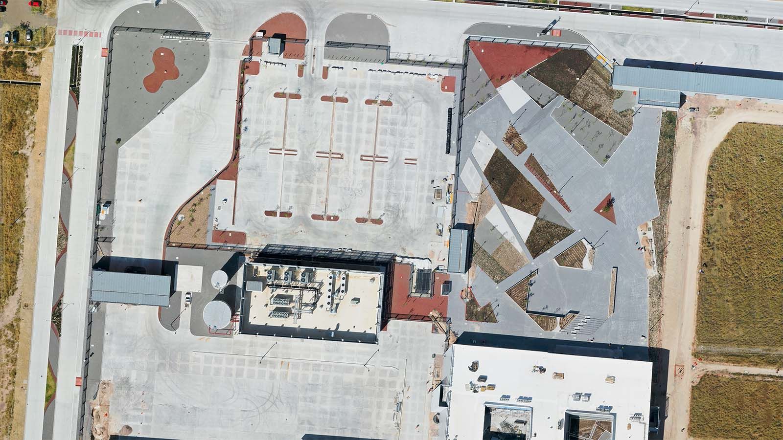
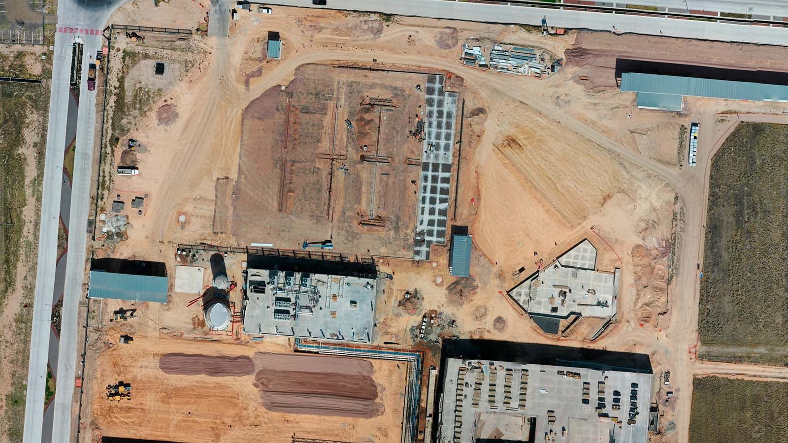
Volumes, surveying, LiDAR, agriculture, thermography and roofs in one platform. Upload the photos and get measured results and reports ready to sign.

  • 6 measurement services
  • CAD and GIS downloads
  • Measurement history

Client Portal

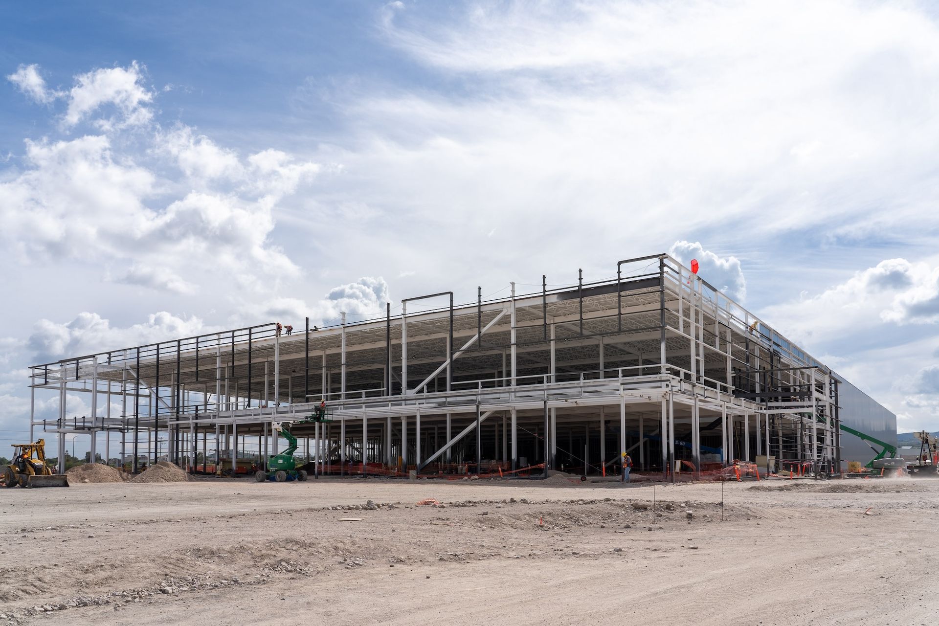
Your construction monitoring: every flight, compared.

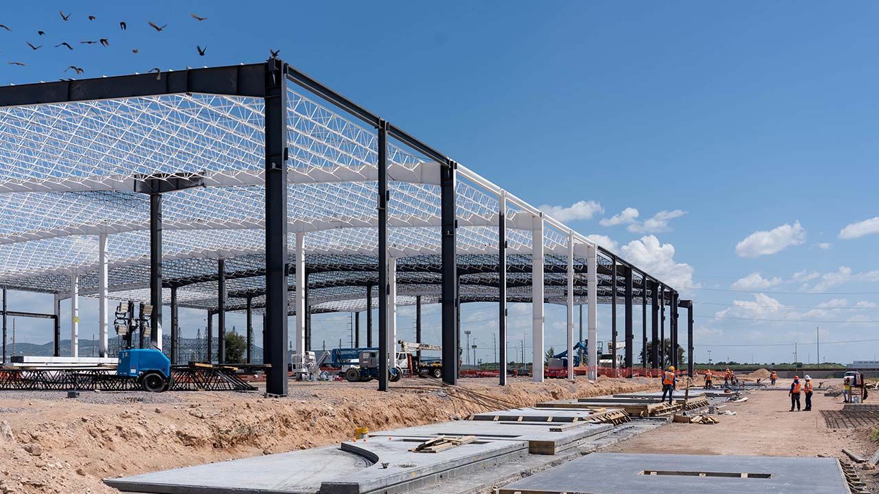
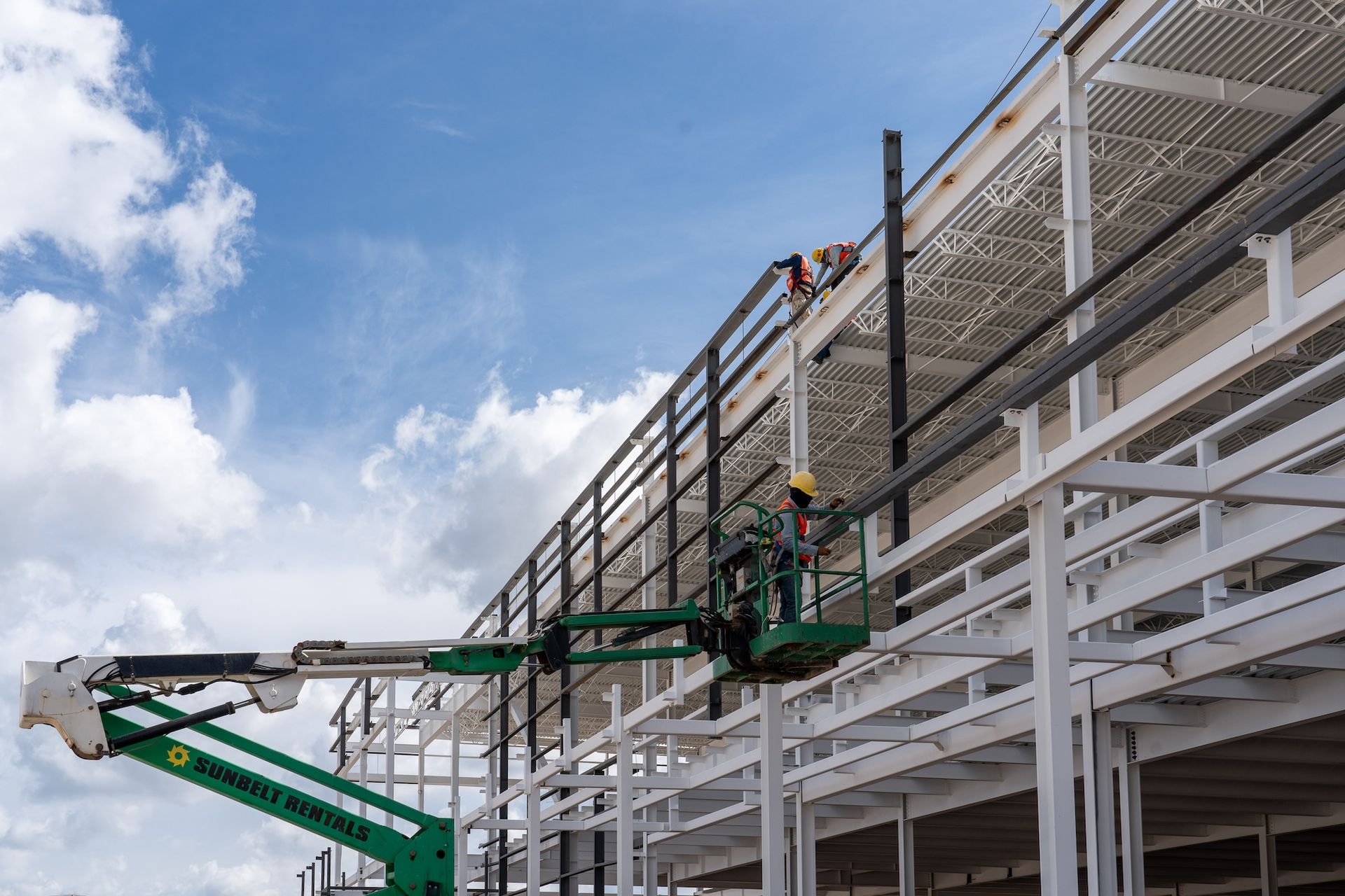
The construction monitoring platform: your projects on a map, photos, video and 360° from every flight sorted by date, before-and-after comparisons (also in 360°) and access for your team and investors.

  • Projects on a map
  • Before and after, also in 360°
  • Access for your team and investors
app.dronesolutions.com.mx

Proyectos

Nave 4 · Avance

Planta Norte

Parque Sur

Bodega 12

ABR 2026OCT 2026
360°

Clima Drone Solutions

The pilot's dashboard: know if you can fly before you leave.

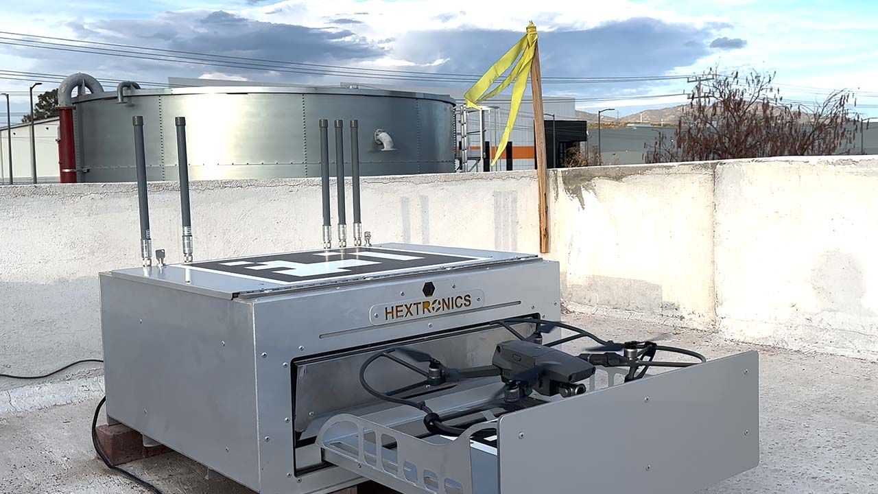
Our weather dashboard for pilots: our own live weather station, airport METAR and TAF reports, conditions by flight type and a log of every flight.

  • Live weather station
  • Airport METAR and TAF
  • Flight log
clima.dronesolutions.mx

Viento

NESO

12km/h

Ráfagas 19 km/h · SO

Apto para volarEstación AGS

METAR MMAS 262140Z 24007KT 10SM FEW030 24/08 A3012

Tell us what you want to measure, inspect or film.

We'll reply with a proposal and the delivery time for your site.

+52 449 281 1221info@dronesolutions.com.mx

Certified pilots · Service across Mexico